
LOST IN A LANDSCAPE
Hidden corners, holloways, tracks, and desertion in the deep landscape.
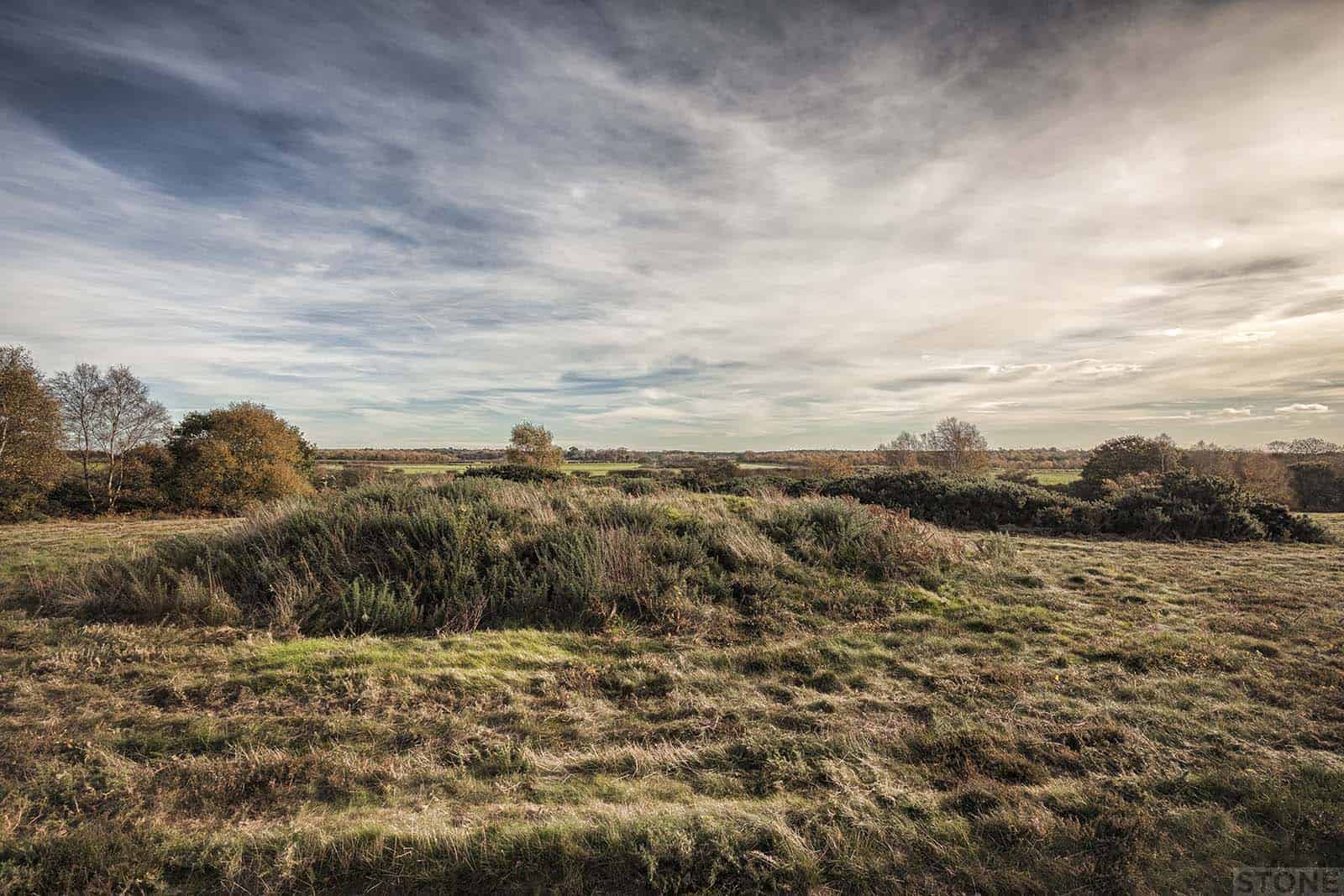
Lost in a landscape: Salthouse, touching the past
We visited the long dead, stretched our fingers out, touched fingertips through the flint and bracken. North Norfolk has some lovely landscapes, far removed from the outsider idea of some flatland devoid of features. The North County around Salthouse is a rolling and...
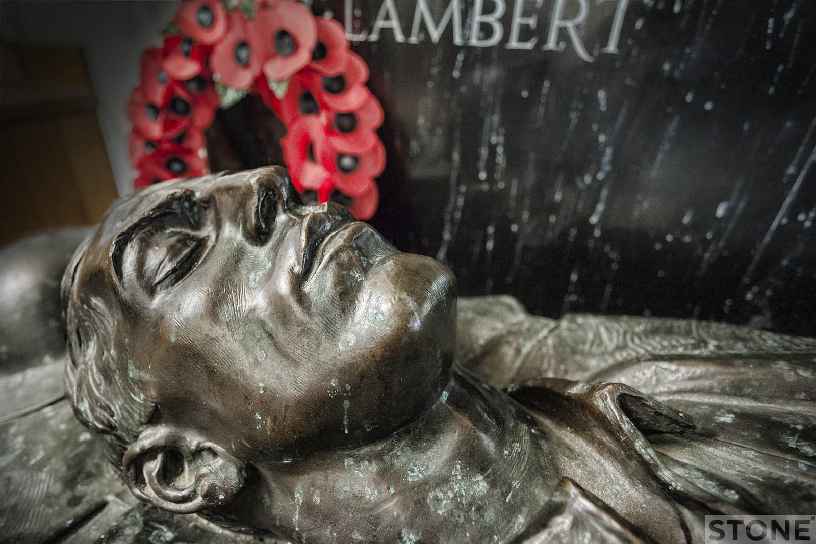
Lost in a landscape: Ditchingham & Francis Derwent Wood
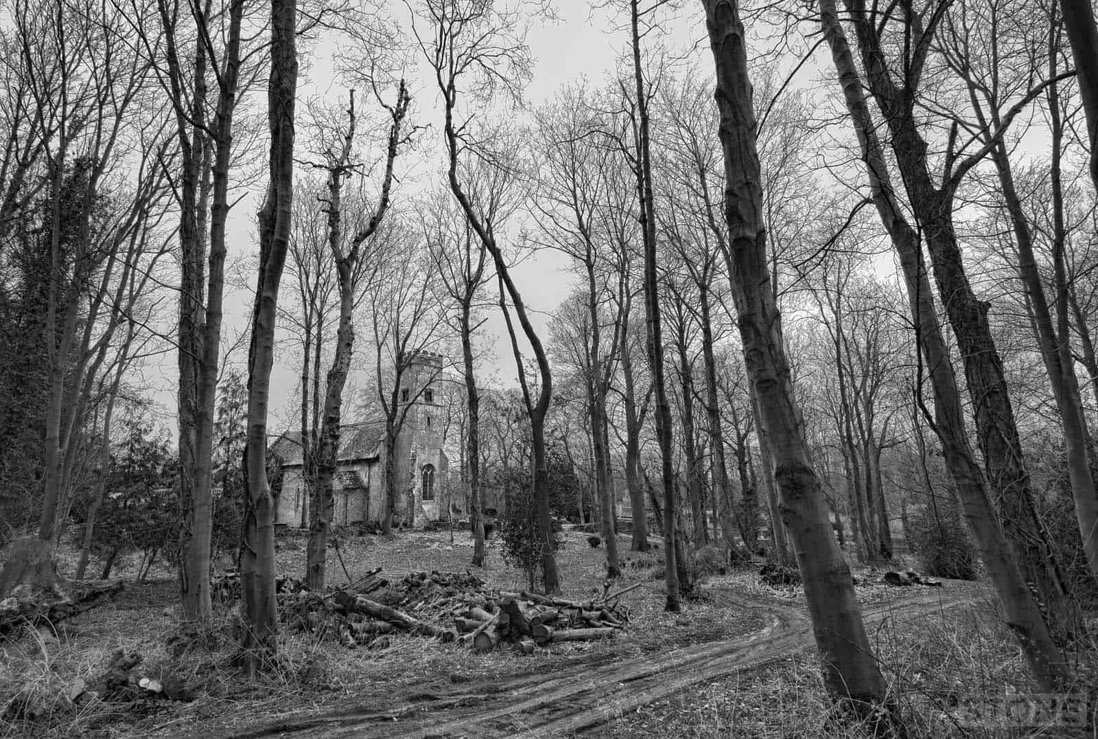
An eye for an eye Ditchingham sits just North of the Norfolk Suffolk Border. It is to all intents and purposes a suburb of Bungay albeit in a different county and on the other side of a main road. The town and its satellite village sit on the edge of the gentle...
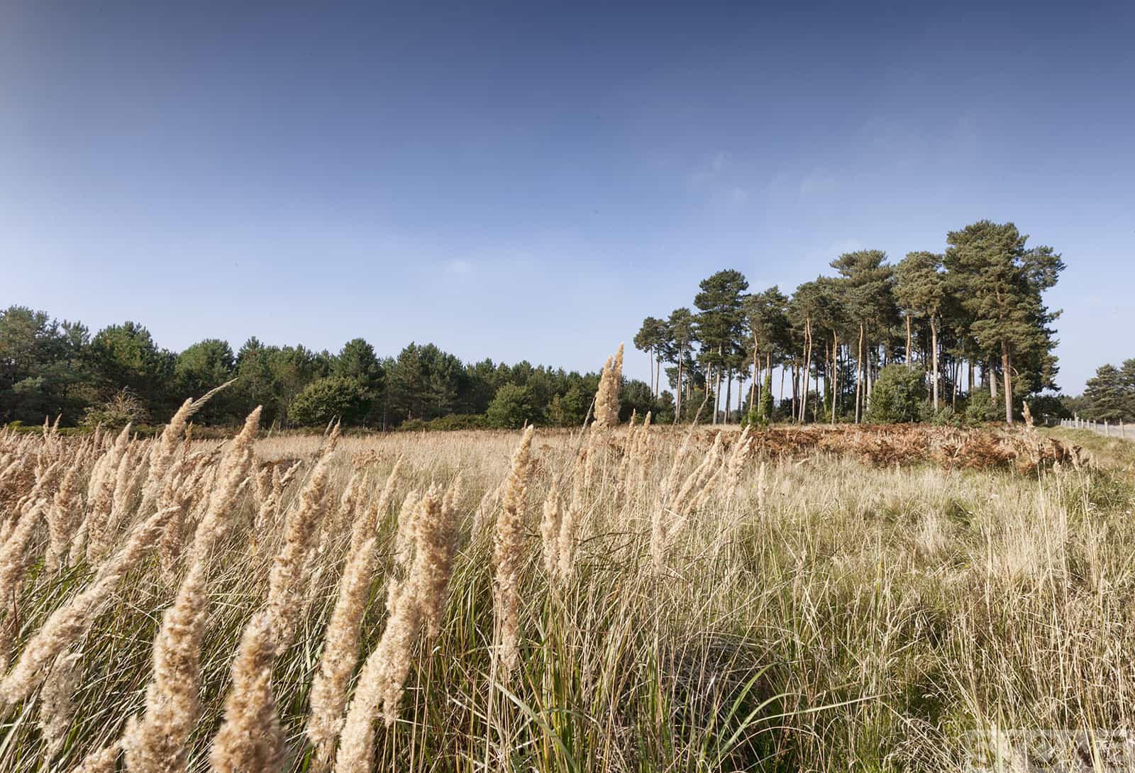
Lost in a Landscape: Weeting pathways
We've been here before. Scrambling about in the past and the past is somehow where this piece of Breckland always feels like it is frozen. We took our children to run around the ridges around the holes in the landscape and down into the belly of the Brecks deep in...
Lost in a Landscape: Walsingham and the wolves
I have amongst my detritus a book on Norfolk abbeys and friaries, it's a junk shop find from years ago. It dates from the 1950s and is extraordinarily complete for a slim tome, just enough background on everything to get you started without too much confusing detail,...
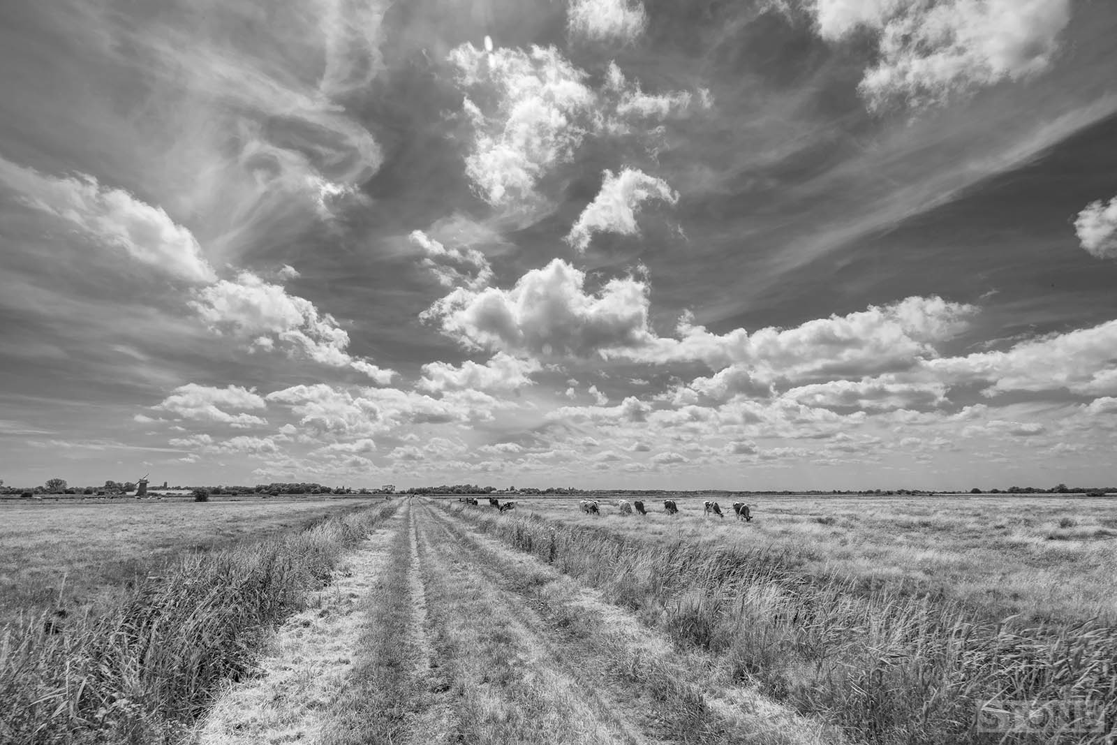
Lost in a Landscape: Heigham Holmes
We went out on Sunday, for a saunter. The weather window suddenly being kind, blue skies and a bit of a breeze and the flat lands of Norfolk. It's easy really when you live here to forget how lucky we are, the cliche of our vast skies gets lost as we all head off to...
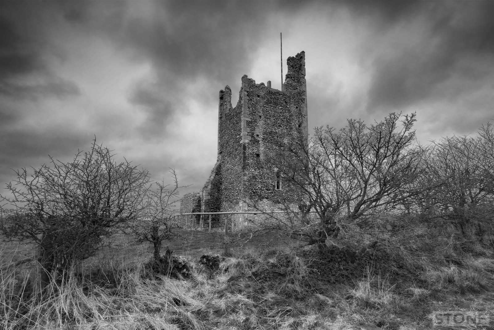
Lost in a Landscape: Pudding Norton
There's a lot to be intrigued about in towns like Fakenham. Not unlike North Walsham, it sits on a small winding road that makes it's a much less direct but more interesting journey than somewhere like Attleborough or Wymondham. The drive is less straightforward but...
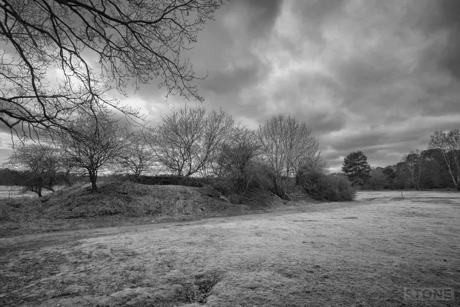
Lost in a landscape: Wretham Circles
East Wretham There's a lightness about Breckland, a dryness and pallor to the landscape, which make it feel somehow different to the rest of Norfolk. It's in the soil, the thin sand with its luggage of chalk and flint, carrying exhausted soldierly lines of Scots pine...
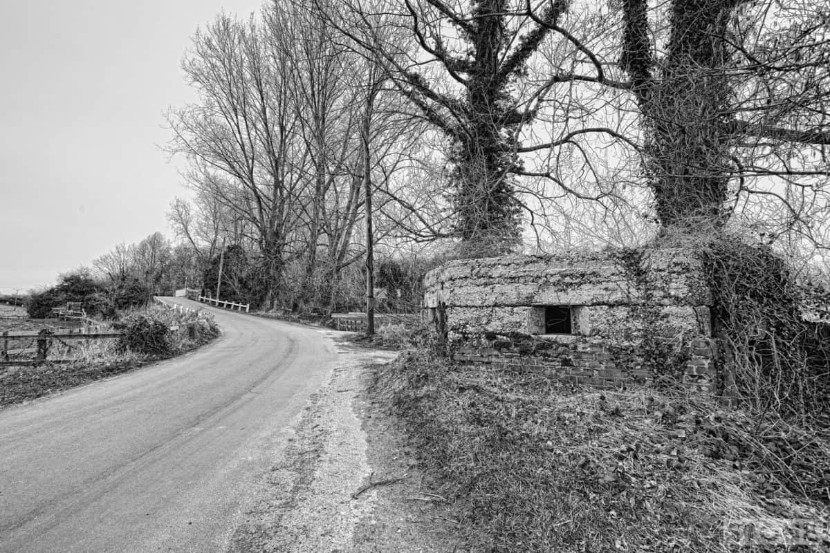
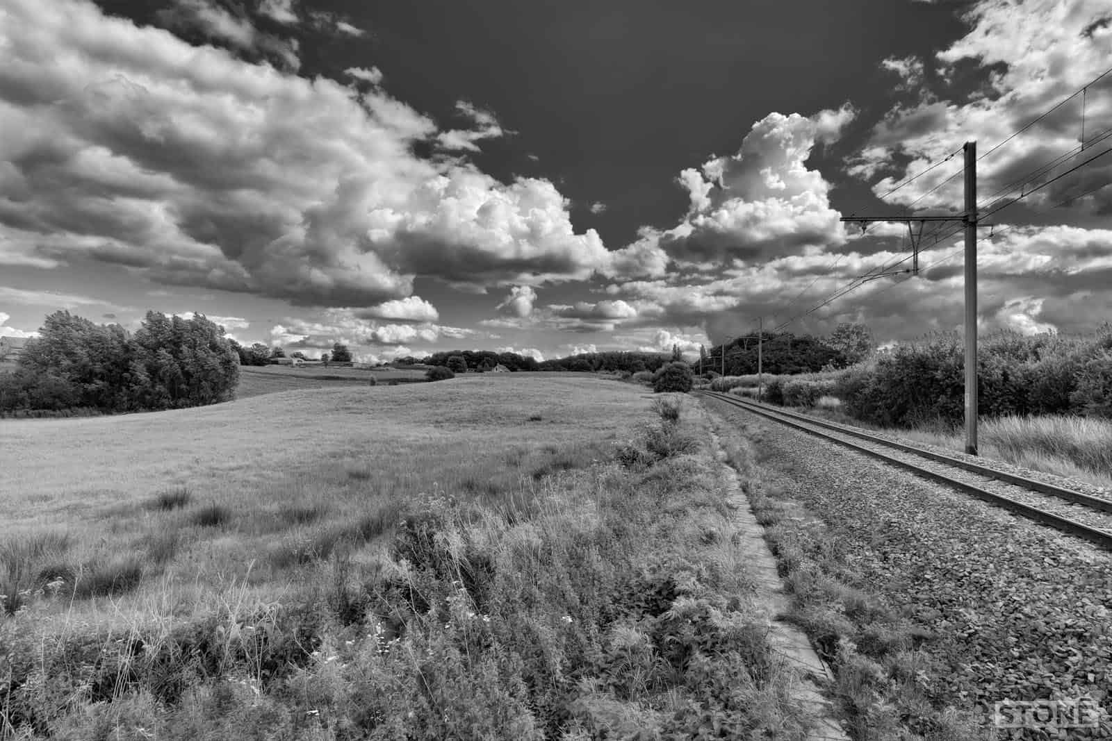
Forgotten outposts: The Bure line at Oxnead
You will, as you drive around north and east Norfolk, pass these all over the place. In fact you'll find them all over the county as you will tank blocks and mortar spigots, even the odd trench line still exists all still protecting us from a long dead, now...
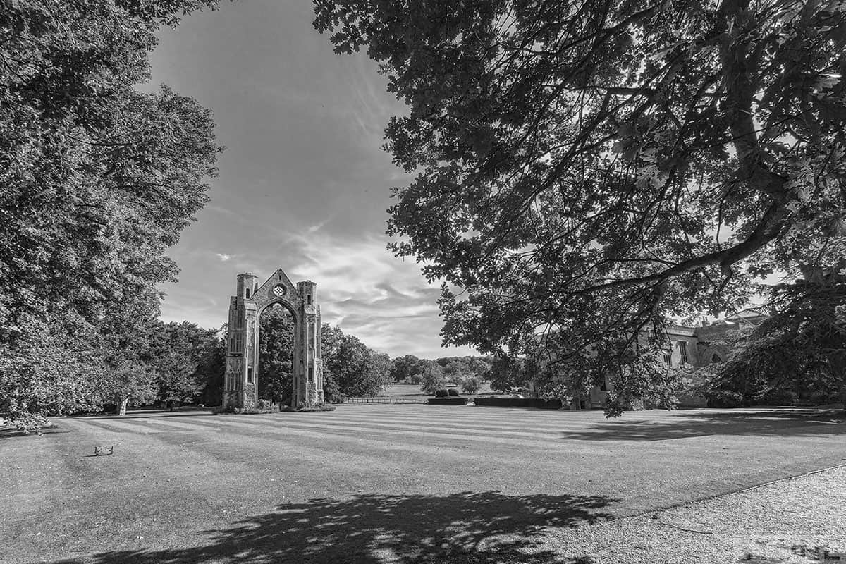
Lost in a Landscape: Oxnead
A pasture for the oxen, that's what Oxnead means so say various sources. Others indicate that the Ox- may come from the word Ouse (Udso), which is an older form from our ginger forefathers possibly of Celt or proto-Celtic origin probably meaning River. It maybe a rare...
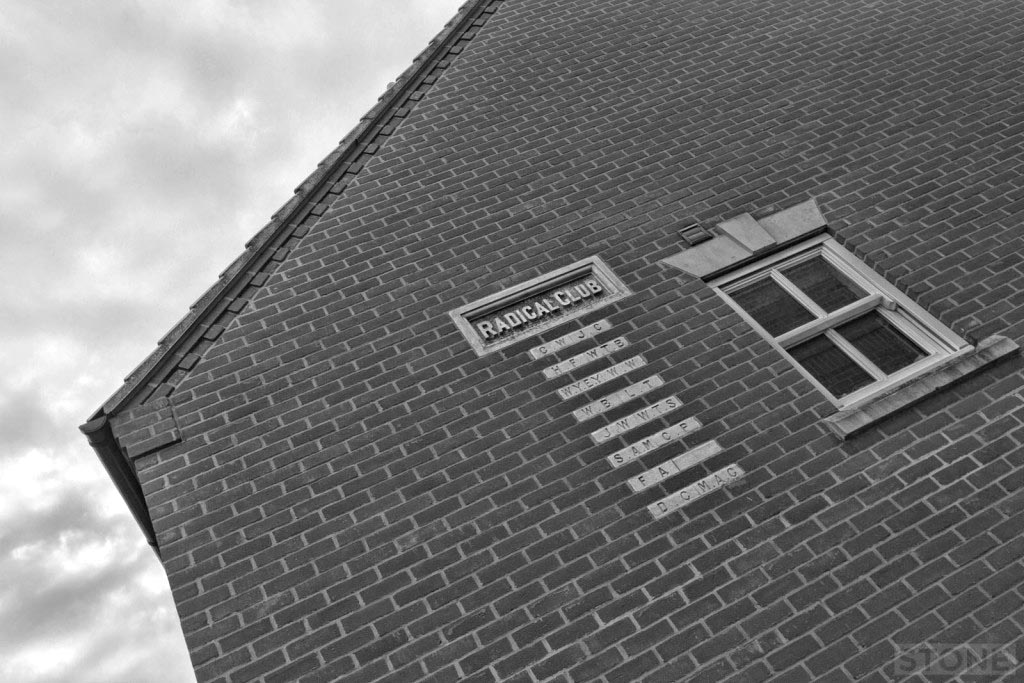
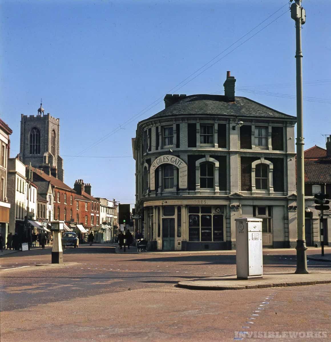
Hidden history: Norwich – In War disloyal; in Peace discontented
Norwich – In War disloyal; in Peace discontented I had to go to the dentist yesterday, the one on Barrack Street that I remember being a pub with strange wallpaper in the 1980s, we drank lager and dripped ash on the pool table in there, The Sportsman. I didn't realise...
Forgotten Outposts: Stella Plage Atlantikwall
A beach in Northern France, in the Pas De Calais actually, Stella Plage sits just south of Le Touquet and Etaples. It's a beautiful beach, so I ignored it and took photos of this bunker. I can't find anything much out about it. Except it's a Vf style reinforced...
Lost Rivers of Norwich
I'm nothing if not unoriginal, this has come about for two reasons; me watching the excellent Thames Discovery project at work on Twitter, And more recently an idea of Jon Welch's based on seeing this rather remarkable work of Art by Stephen Water; his is hours of...
VANISHING POINTS
The Landscapes of the Western Front
Vanishing Point: Mash Valley and Ovillers
The Somme is exceptionally beautiful. For me a landscape which feels like home. It is chalk downland, when you get up onto the solitary heights of the Redan Ridge or the plateau where Thiepval sits it feels so similar to parts to the southern downlands. Below lies the...

Vanishing Point: Flatiron Copse
There are parts of the Somme where you can and do suddenly feel remarkably isolated in the sun, bits around Serre in the tractor tyre marks and up on the swallowing heights of Redan Ridge with the wind and the larks. For me Mametz is one of the most curious of these,...
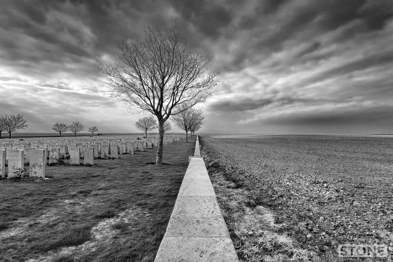
Vanishing Points: Tyne Cot
If and when you visit the Western Front, which a huge and growing number of people do partly because of the centenary and partly because you know, corner of a foreign field and all that family stuff, you are entering a piece of ground that is pretty much at the...
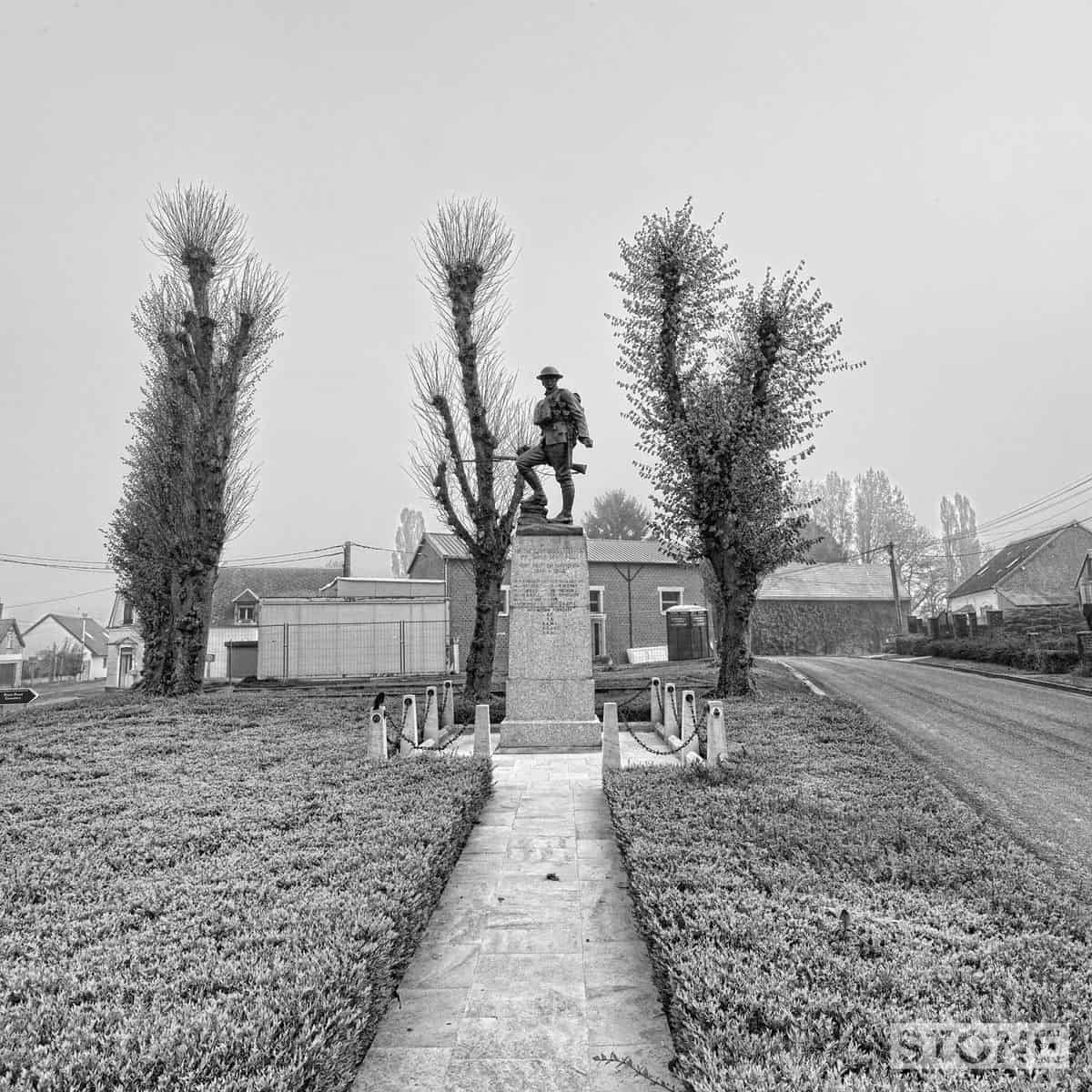
Vanishing point: Before endeavours fade
I'd been meaning to go to Holborn and take a photo of this chap for years. This is my grandfathers regimental memorial, he was in the 1st RF (of which I have already posted plenty), I collect these things for some reason I can't fathom. The memorial is a finely...
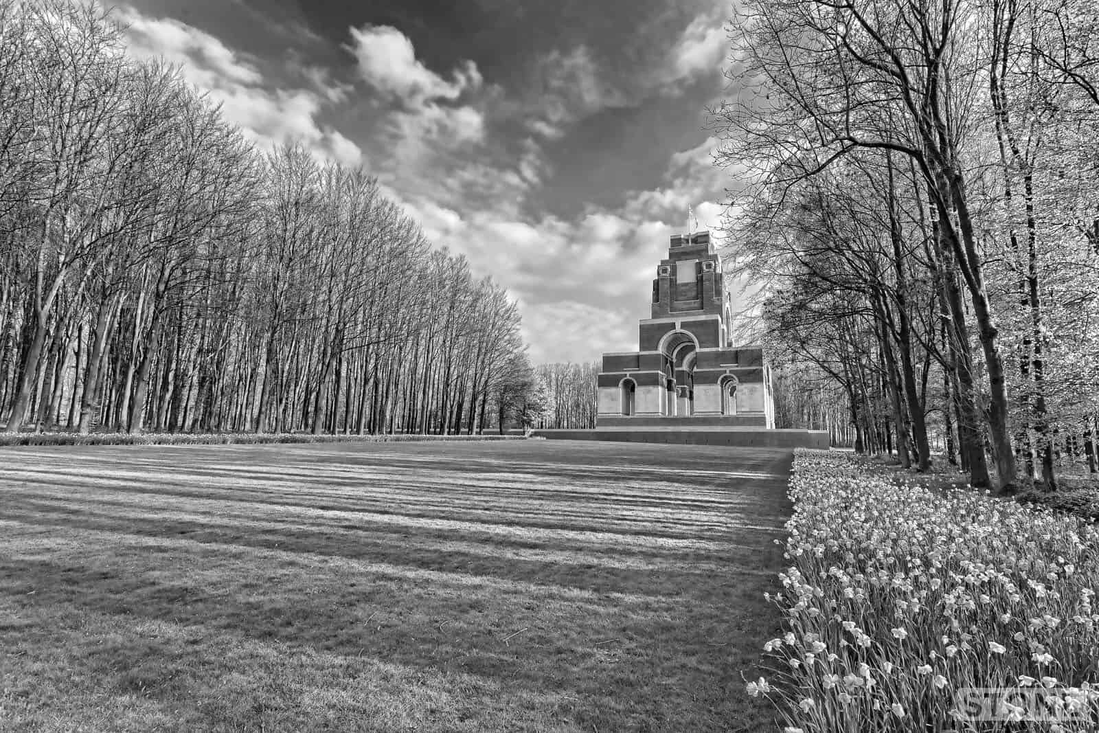
Vanishing Point: Thiepval
72,191 names. Rising up as it does above the trees on the Thiepval ridge on the Somme, it is by turns a beautiful, vast and horrifying edifice of brick and stone, coloured like blood and bone. A list, a huge frightening and sobering list. The number of names, the...
Vanishing point: Berlin Sap
It looks like a field, because it is a field, one that slopes gently up to a low ridge, 60 metres at its highest point, best appreciated either from a mile or so back in the open areas behind the old line. It looks like nothing much, close up it is just a slope and...
Urbanism
Walking the old streets
Finding Crome
Nick Stone is a contemporary photographer, writer and visual artist, he is the creative mind behind ‘Crome’s Norwich: 1821-2021‘, a photographic exhibition on display at the Museum of Norwich exploring the artist John Crome’s relationship with his native city. It...
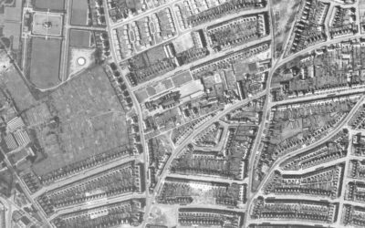
The Norwich Bomb map – Digitised
The Norwich bomb map was originally created by Norwich Air Raid Precautions Department to record all known bombs* dropped on Norwich between 1940 and 1945, including the extensive Baedeker Raids of 1942, giving the location, date of the raid and the type of ordinance...
Hidden history
What you don’t always sense
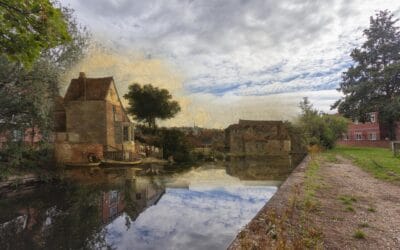
Hidden City: St Mary – The Chapel in the fields.
St Mary – The Chapel in the fields One of the most intriguing things about any landscape urban or rural isn’t so much what you can see as what you can’t, and how what is there covers up what was, or how it gives up clues. The Assembly House in Norwich covers a...
Norwich, a history in pubs
This is the work of Fraser White. In 2018 he created this using Google Maps to list all the pubs in Norwich possible, that includes closed ones as listed on the Norfolk Pubs Website and elsewhere. This is the kind of project I can get behind, so that's why it's here,...
The Walled City
The flint and water circle
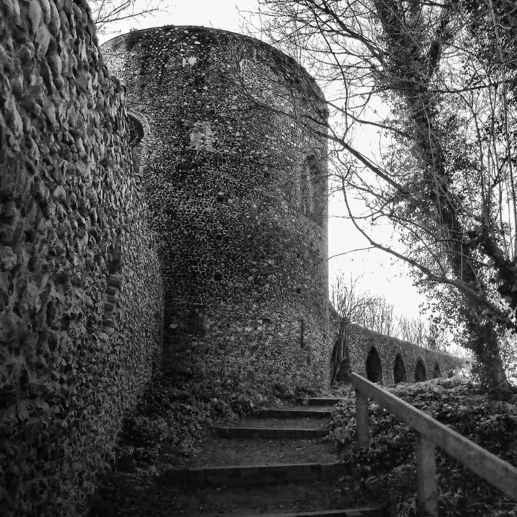
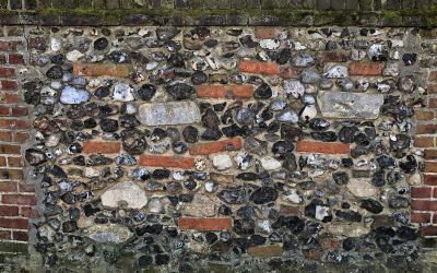
Walled city 1: Black Tower and Bracondale
I'll start at Black Tower or Boteliers or Butlers tower in Bracondale and continue in no particular order. This was also known as Snuff Tower because it contained a snuff mill, and later a cotton mill which were still in evidence at the beginning of nineteenth century...