Sunday seemed like it was the last blast of summer weather, that final sigh of heat and sun and as it goes some drifting was the perfect way to absorb those last few rays before the decent into the washes of winter Atlantic lows bear down across us. So we did a largish circular walk taking in two estates, Mannington and Wolterton, home to the Walpoles. I don’t have much of an affinity with the history of the parks themselves, in the same way that I don’t like Downton Abbey, because life isn’t how it’s portrayed and you don’t have to scratch very hard to work out that the actual story on and around these estates has been very different in the past. You can’t look at the people, because most of their history is lost in the paperless, spoken-word and passed-on-story existence of the poor agricultural labourer, tied to the lord or the estate. This is something I’ve found I have a surplus of in my own line, cutting carrots and topping cabbage, gleaning the fields for peas and dropped corn. This seems to be where my genes come from, directed through the mud and sweat of agricultire for at least 600 years in the fields of Cambridgeshire and Suffolk. And that story is still all around us in our landscapes even if the names of those that occupied it, the unknown and unwashed have vanished into memory. So let’s ignore the halls, beautiful and manicured gardens and the establishment that they belong to and look at what lays beneath and behind in the timescape.

Norfolk has more than its fair share of desertion. Across the whole county there are settlements that are barely there any more a large percentage of which don’t really have much in the way of remains. And there are various reasons why, I’ve covered a few already in particular the erosion-based loss along the coast at Eccles and Cromer and some down to changing settlement patterns, bad drainage and engrossment, such as Godwick. A lot of them it’s difficult to work out why as research into many of the sites is limited to either Beresford on a national scale or Davison; a master at Thorpe Grammar or High; who covered quite a few locally. There have also been a few digs some of which are catalogued in the annals of EAA. But it can be and is quite difficult to find much out in a lot of cases, so some of the conclusions will be conjecture, and Mannington is one of them.

Mannington is in one of the less dense areas of desertion, there are fewer to the North of Norwich than the west, and it would appear that unlike the West where denudation due to soil and changes in farming appears to be the main reason for medieval desertions, here it seems that the settlements are a slight quandry. Mannington was never large, oddly had almost ceased to exist by medieval times it also seems later to have suffered from a form of emparkment, the large moated manor house being very close to the settlement itself. The first one to be built and which is recorded in detail in 1460, although there was apparently a house of some kind on the site before. If you work through the ‘big’ history of the area is scattered with those local names we are all too aware of in the background noise of our collective local history, De Warenne, Turrell, Paston and to a lesser extent Lumnor, all had a hand in the place before Potts and Walpoles arrived. The Walpoles still reside here, the continuum of old class.
The original settlement itself lies just outside the edge of the manor, and over the road into it, there is a surviving aea that looks like it may have been a small green or common area surrounded by trees, as with all these places whether these are genuine boundaries or mark some earlier landscaping is open to all sorts of questions, but to the casual Googlemaps observer, from the digital heavens it looks a distinct possibility, there has to my knowledge only been one excavation on the site and that was in 1976 on a suspected housing platform, any other vestiges of the village have been lost to the plough. The details of the settlements population go as follows; 1332/34 – very small, 1449 – 40% reduced. First Manor built 1460, 1565 – no population in village, land enclosed. Blomfield indicates it was derelict and disused in 1730.

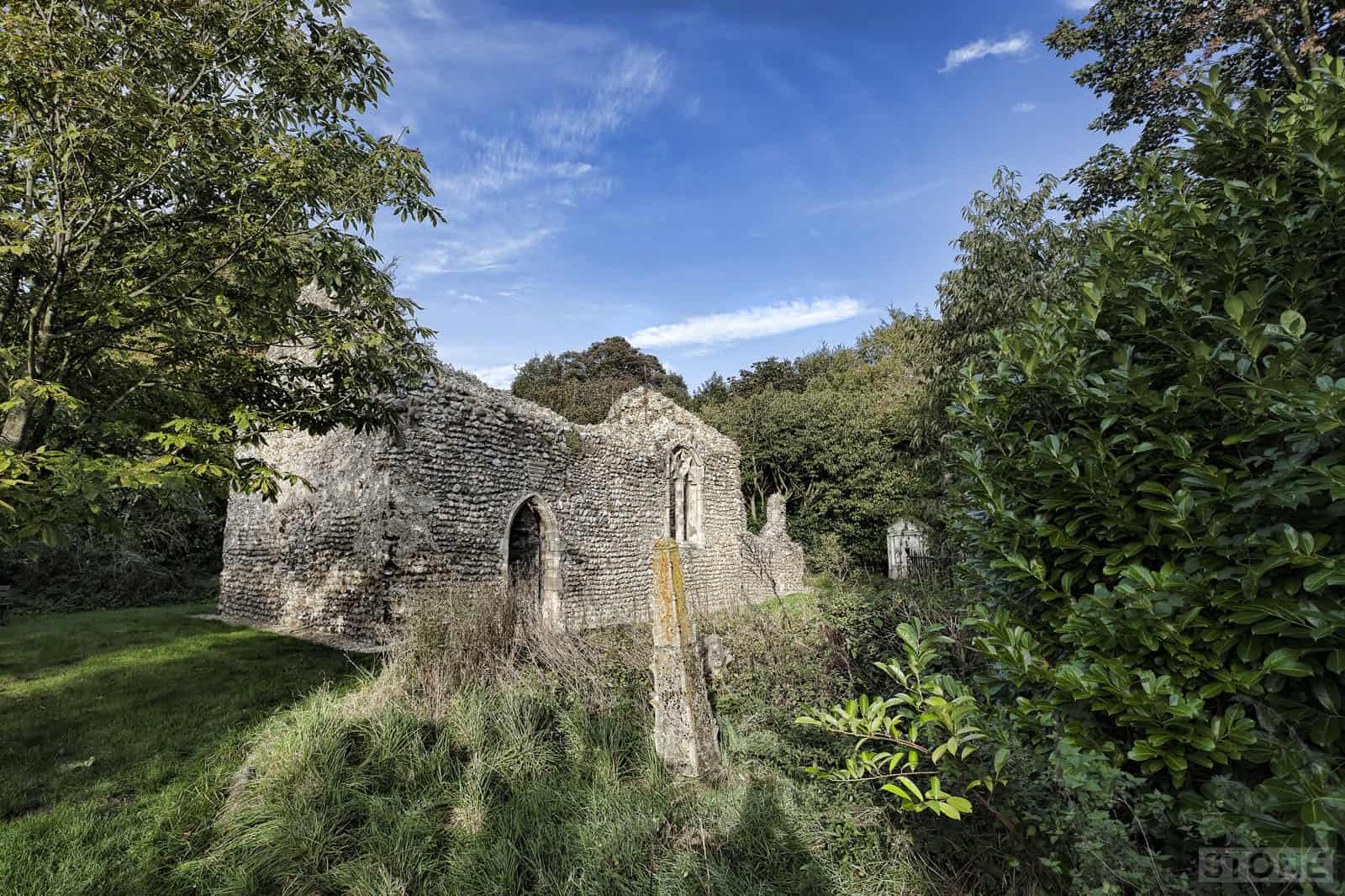
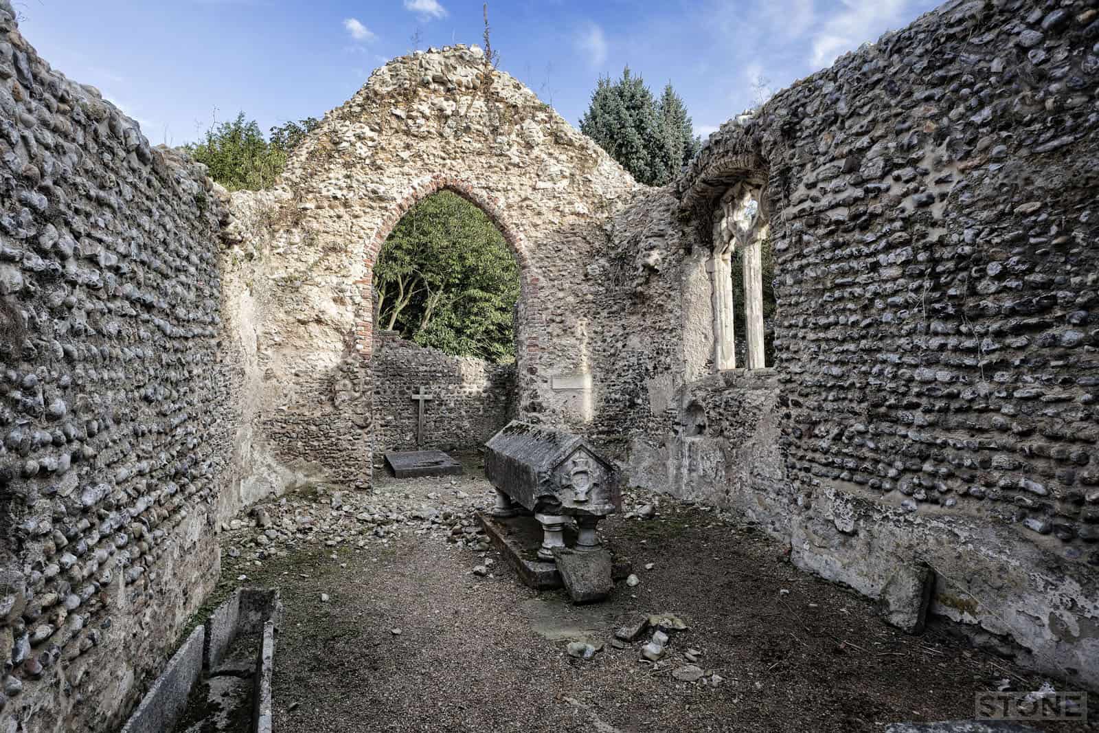
The finds in the area have been mostly Middle to late Saxon largely near the church. There has also been a few prehistoric bits and bobs and medieval and post-medieval pottery scatter which indicates a long pattern of settlement in the immediate area. What is of course the most striking part of the puzzle is the church; which although across the road is still part of the estate. It’s easy enough to find buried in a mist of rhododendrons and trees, but signposted off the road. A simple little building, not the most stable ruin I’ve ever been to either. It is near collapse in places, shedding flint and mortar in front of your eyes. Particularly the main arch which may or may not be a arch or a door into a tower which has long since gone. It’s a rather lonely space and doesn’t seem much like a church despite a few curious memorial tablets to the Potts family it feels far more like what it is which is basically a rich man’s folly, which sadly is what it became in the nineteenth century. The oddly rough hewn Octagonal font; a Sarcopahus to the Earl of Orford whose toy it was, his intended interment, somehow he ended up in Itteringham. It was he who dressed this little Saxon Chapel up.
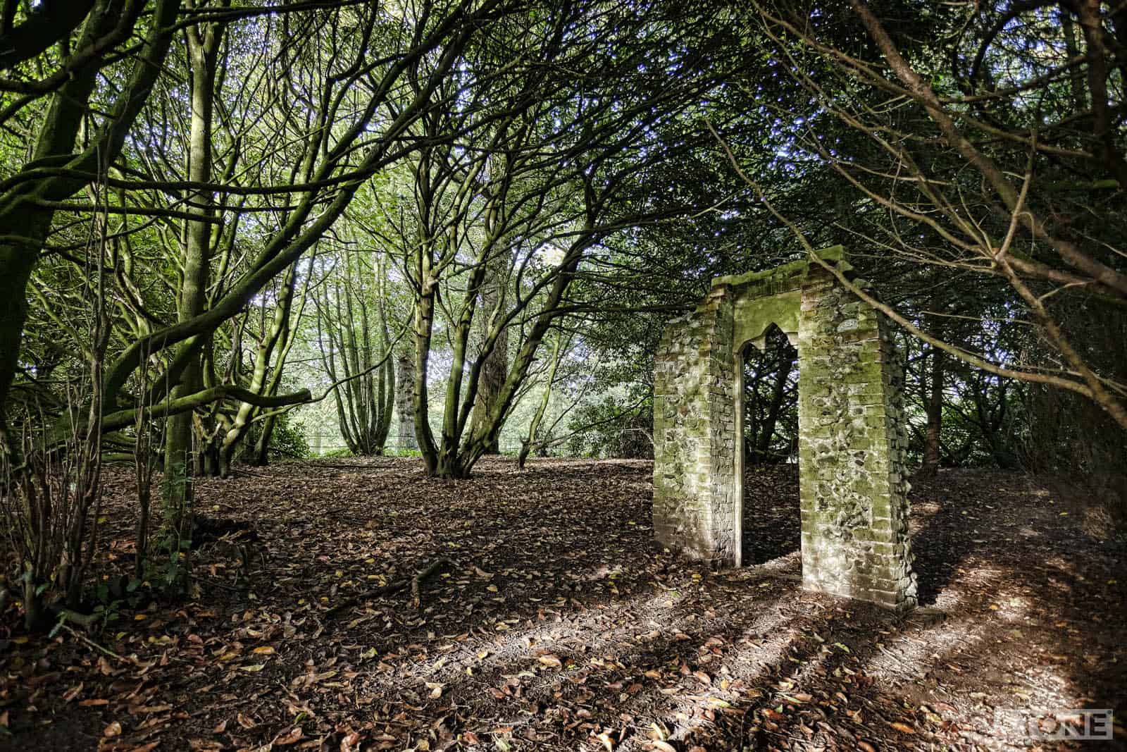
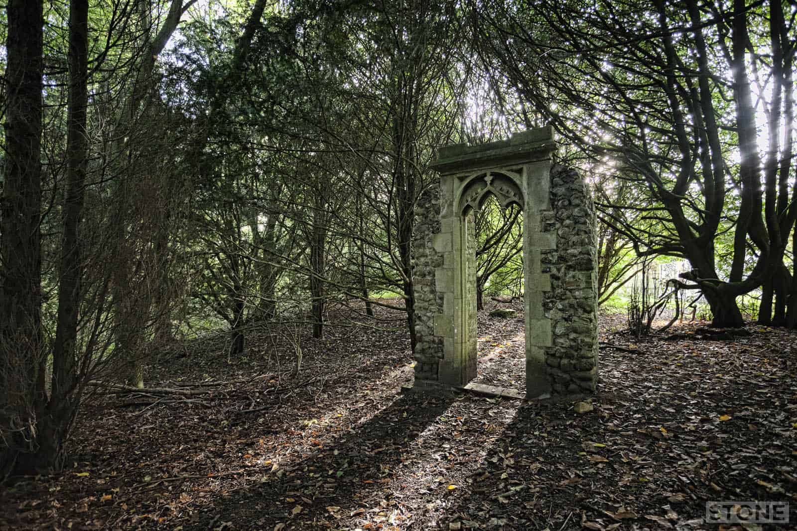
Rather bizarrely it’s the fakery outside the chapel that gives the place atmosphere, Orford’s fripperies; bits of this and that he collected, arches and spikes surround it as if it were some ruin of a lazily laid out micro-priory of mismatches, arches and doorways hidden in the trees, a circular brick building with gothic tracery collapsing unwatched in the ivy and nettles beside a path, and beside this, in the fields, fresh ploughed the real past still lies beneath the fertile orange loam.


Trackbacks/Pingbacks