This is the work of Fraser White. In 2018 he created this using Google Maps to list all the pubs in Norwich possible,...

This is the work of Fraser White. In 2018 he created this using Google Maps to list all the pubs in Norwich possible,...
A good few years ago Cameron Self and I were discussing DMVs or Deserted medieval Villages on Flickr, we'd both...
A couple of ones that nearly got away, I forgot I'd done the High Wood one until a few minutes ago when someone asked...
Vergeltungswaffe 2 or V2, The Retribution Weapon. A less than charming name for nasty things. The Germans were way...

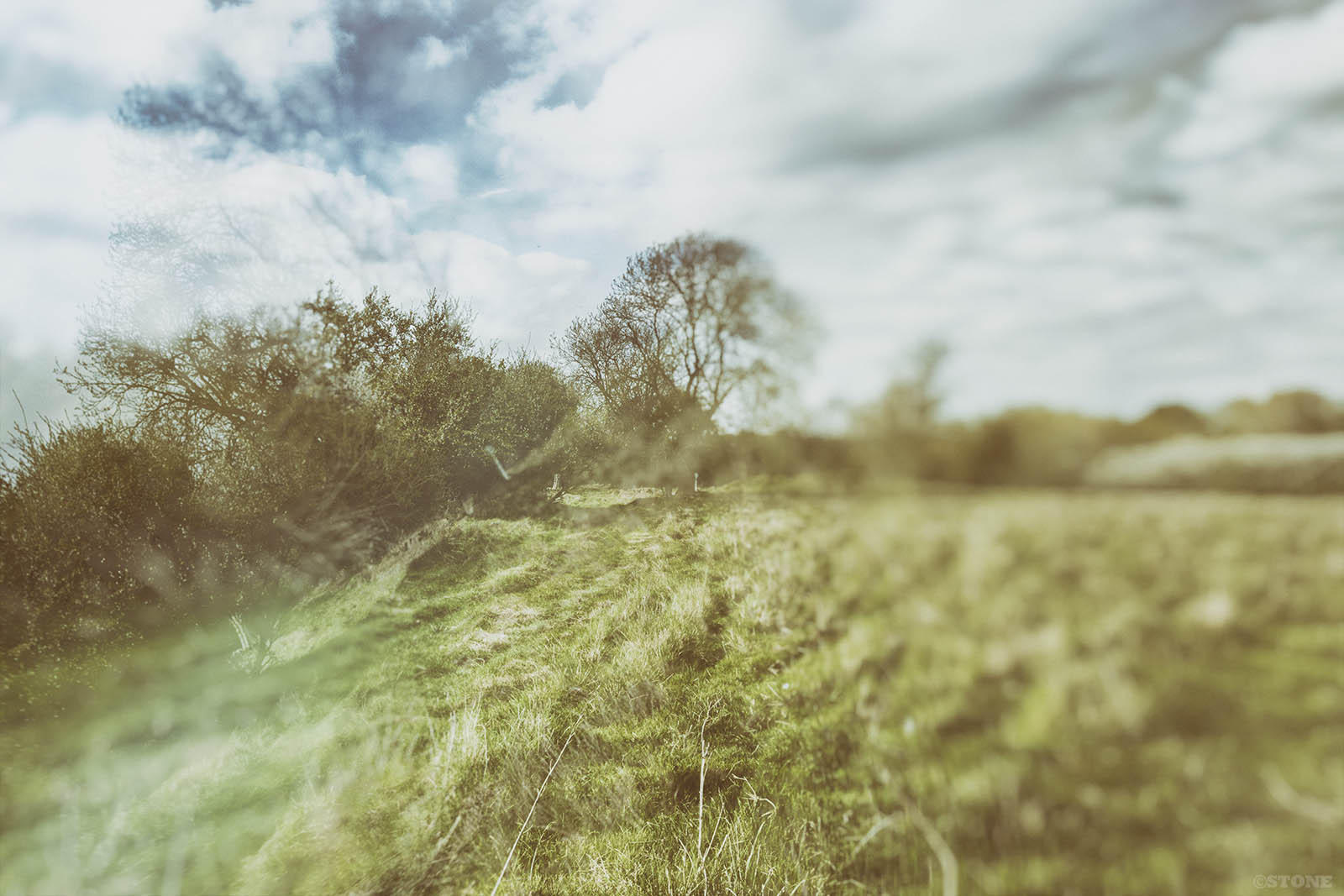
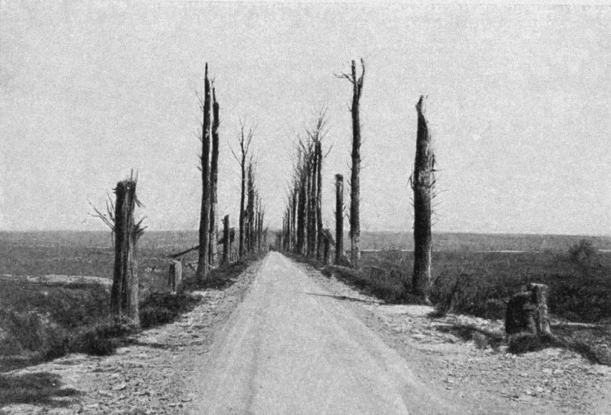
Langemark A few trench ghosts I did last week then got distracted and forgot about. One of Langemark and one of the...
I had a very interesting email today from Gil Bossuyt of frontaaltours.com which has prompted this post. Gil has been...
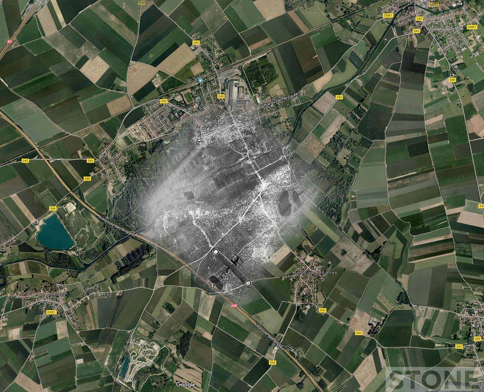
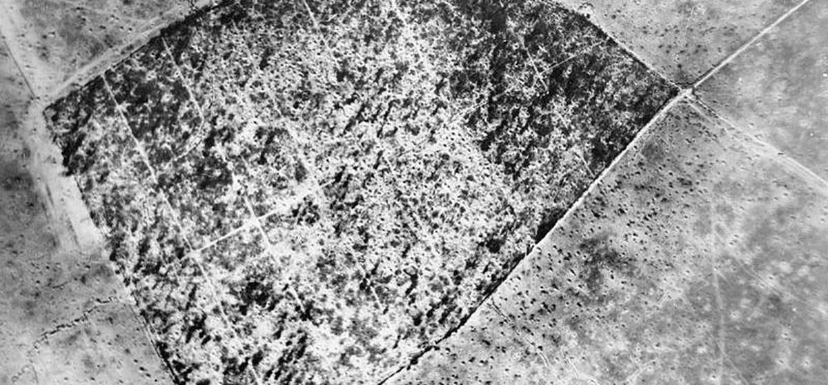
Someone asked if I'd done any Loos aerials, I hadn't, it's not an area I'm hugely familiar with, it does tend to get...
It's raining and blowy, what better weather on a bank holiday for getting the scissors and glue out and sticking...
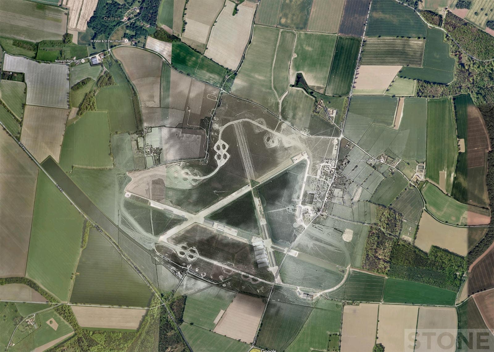
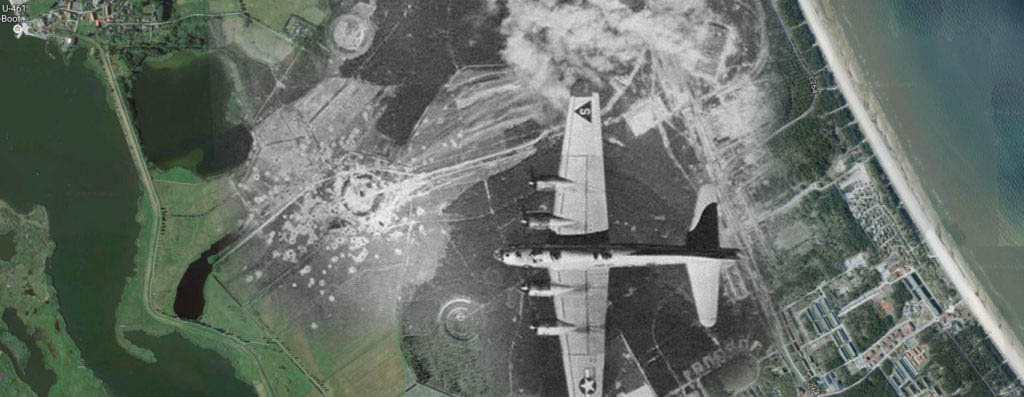
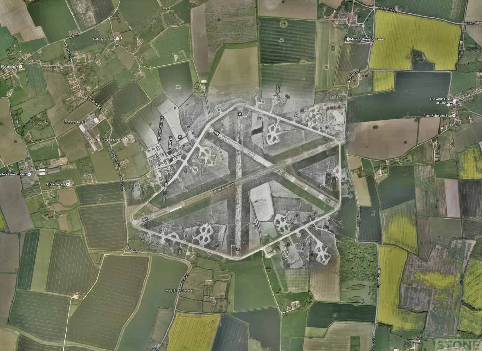
Ghost Airfields of WW2 We drove around RAF Oulton today on our way away from the huge pile of humanity trying to take...
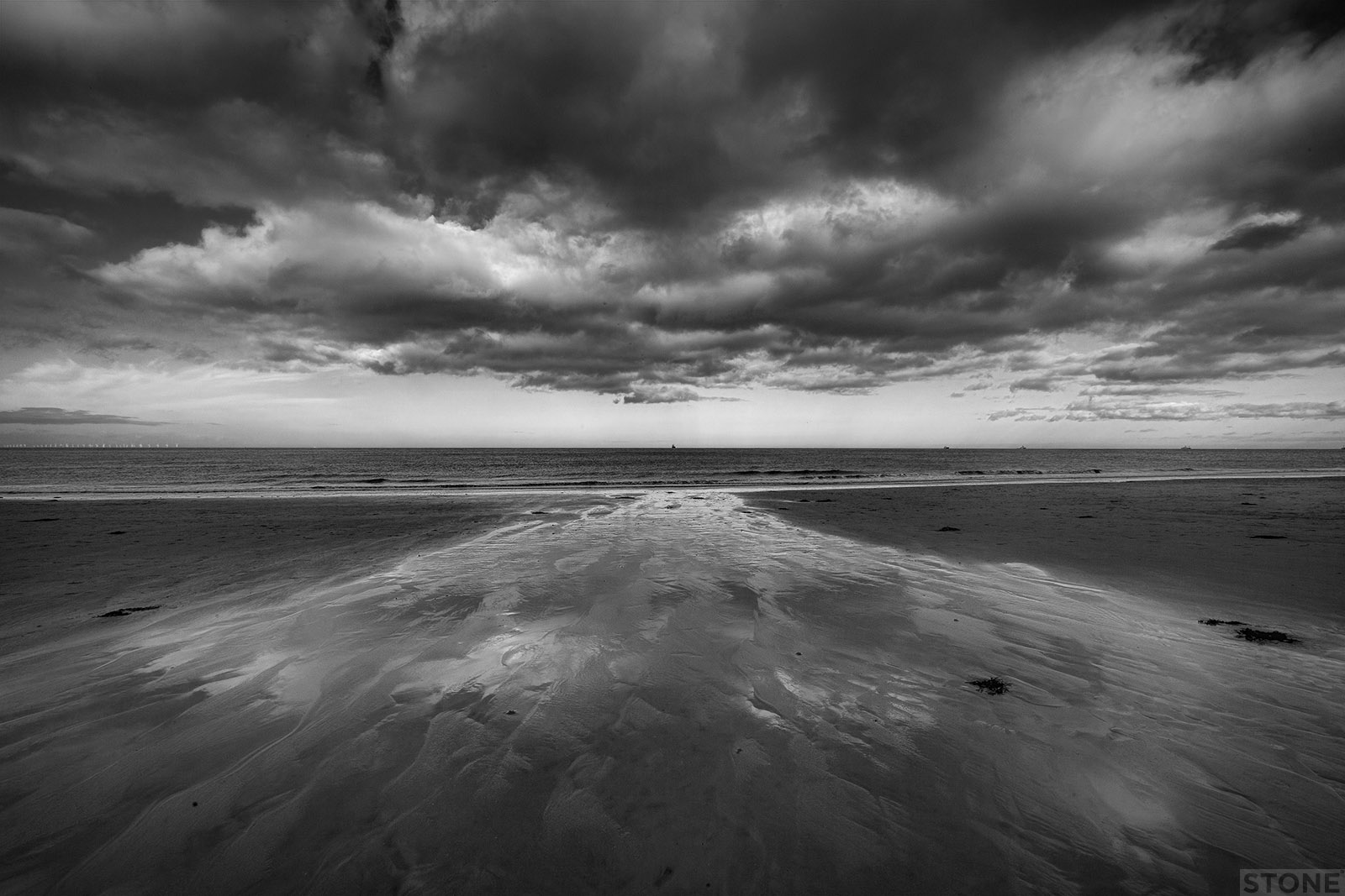
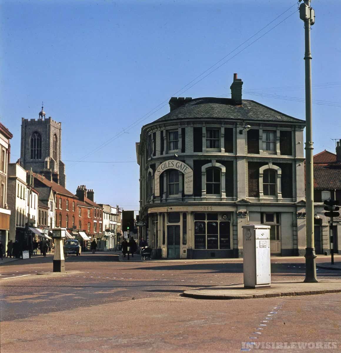
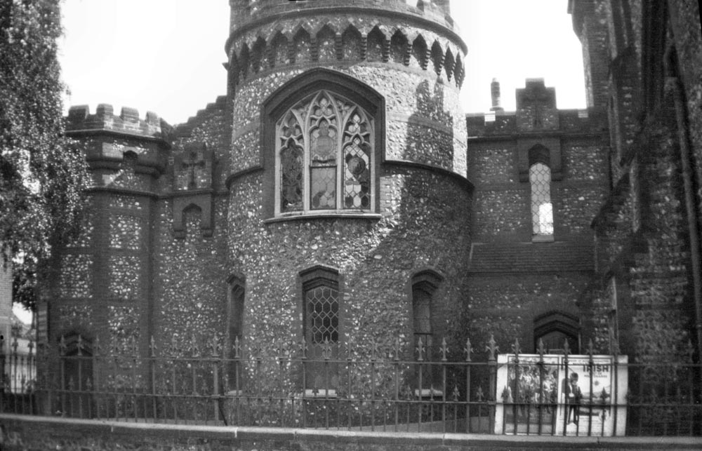
The landscape reveals many things about our past. You can stand in the middle of the city entirely enveloped in the...
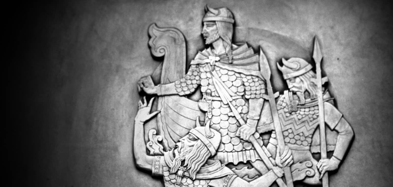
Viking and Anglo-Saxon Norwich We live here. It is easy to forget where Norwich comes from, we take our surroundings...
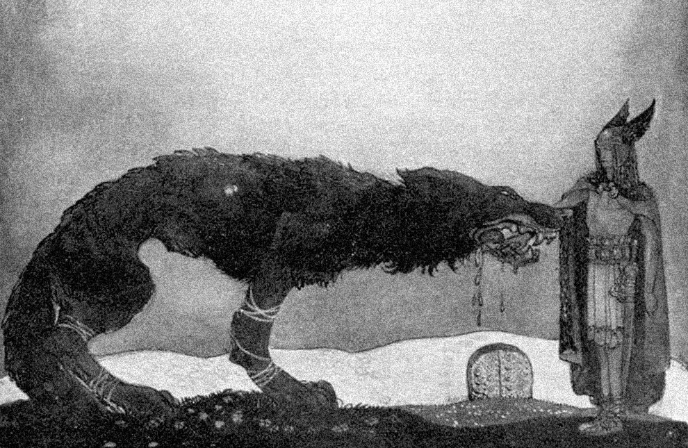
This project on Black Shuck was part of the original intent of the Public Archaeology project (for PA2015) and for me,...
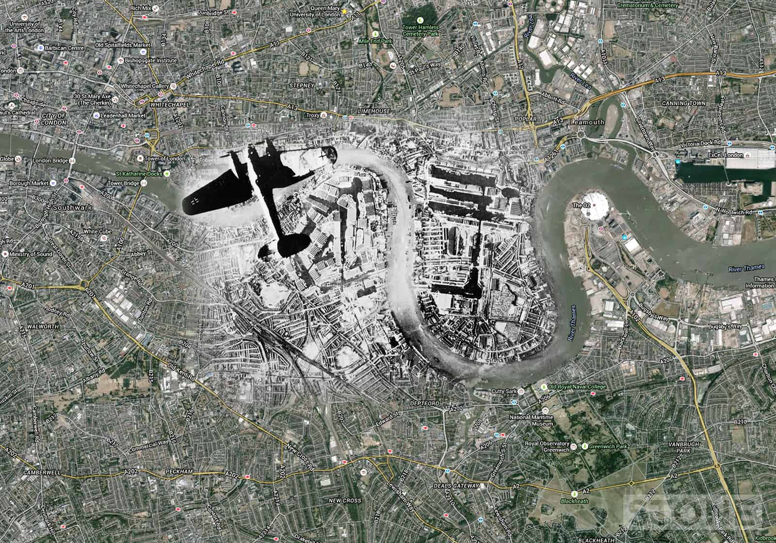
These are blitz ghosts: London blitz aerial maps using images from various collection overlain on Google map aerials....
Basically Norwich City Wall with all the main elements marked on, This is not 100% accurate for detail, It's stepping...
I'm nothing if not unoriginal, this has come about for two reasons; me watching the excellent Thames Discovery project...