A pasture for the oxen, that’s what Oxnead means so say various sources. Others indicate that the Ox- may come from the word Ouse (Udso), which is an older form from our ginger forefathers possibly of Celt or proto-Celtic origin probably meaning River. It maybe a rare survival of the celtic tongue in the East with King’s Lynn one of the few words left behind as they where pushed west and north or interbred into the soup of British DNA.
As you cross the bridge and look down at the swollen Bure pushing along you can see why it was a good spot to water the cows, so however the name grew is somehow fine and fitting. As you can tell from this delicious confusion there’s some curious things going on here from deep down, the layering of different strata, differing opinions on something difficult to quantify in a landscape that’s not far from Brampton and Burgh with their Roman kilns, the vanished Bronze Age funerary landscape to the north and east, And although I’m sort of pre-armed with just enough knowledge to make me dangerous, it does at least make you aware of the way the land has been inhabited around and you. In those flattened folds there’s thousands of years of life and you can almost sense it in the edges of the woods and looking across the fields as they brim up around you.
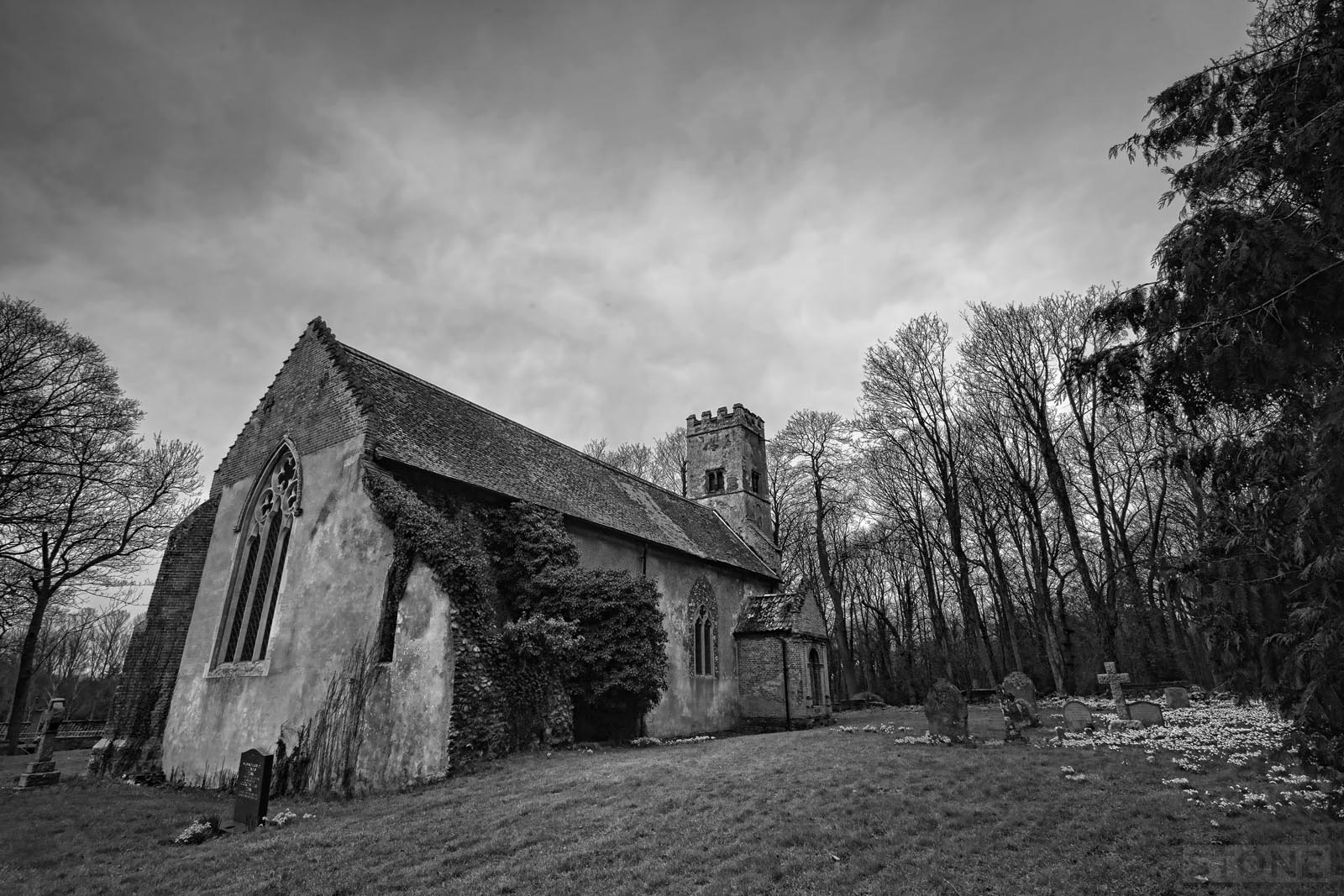
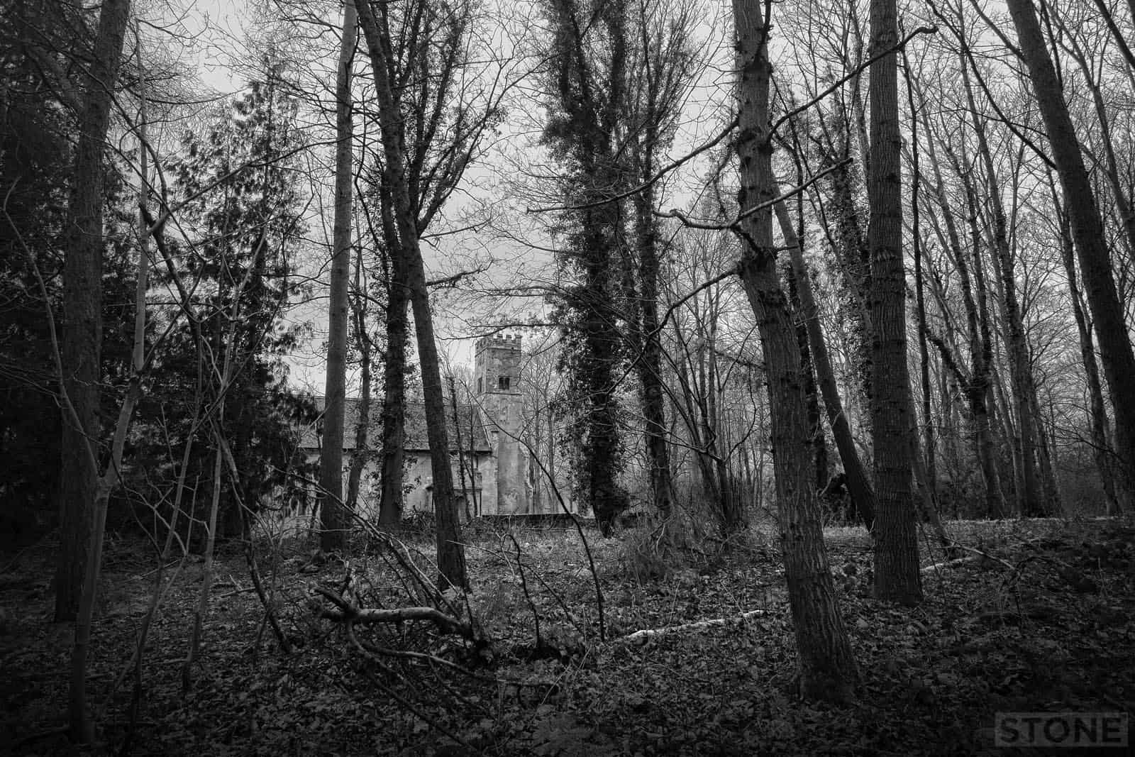
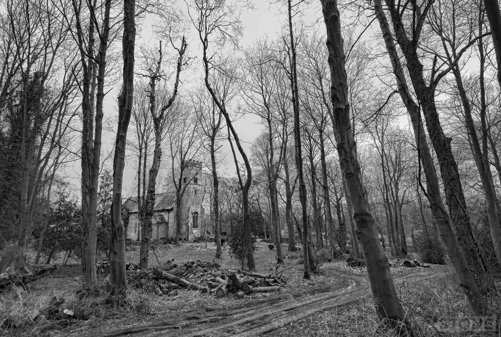
It’s a nice spot although the weather beat me to it, I set out under roiling white clouds and blue soon blown out by a fast moving front and replaced by a lead ceiling and a hint of drizzle. The sharp light flattening out, a photographer’s nightmare some would say. The village of Oxnead isn’t there any more, there’s the bridge, squarely defended by the flattened eyes of a pillbox but there’s no visible trace in roll of the land surface. Viewed via the refracting lens of online mapping, even with a desparate eye keen to spot clues there is nothing obvious. A wooded valleyside bordering fields and importantly the church, then the hall and the ribbon of the river threading past. There are a few marks in the pastures below Belt Wood which are probably drainage channels in the water meadow. If anything, when there was a village here it ‘feels’ like it would be in the rather solemn roofless wood around the church. The soft sponge of the plant litter floor buries what remains under centuries of dropped leaves, rotten wood and dead bracken. Evidence of life mulched out of visible existence by life itself. Like the vast majority of Deserted Medieval Villages this isn’t Godwick, the platforms are indiscernible, the roads not really hinted at.
The main reason for the lonely existence of Oxnead Hall and it’s predecessors, as with a lot of places in Norfolk, Is the huge estates which consumed the places they landed on like dragons. Before the turn of the first millenium and the cut and thrust of the Danes and later their cousins the sons of Normandy it belonged to a man called Ailldig, then later to Halden who also held Helledon. Post-conquest under King Stephen it passed to Greslei then Hauteyn and by the end of the fourteenth century it was in the ownership of Robert De Salle, then by marriage to Clopton who sold it to the Paston family, probably that most famous of Norfolk families. The Pastons made their mark, Clement built the hall, one chunk of which still exists, the family then added to it and altered and extended. Eventually they vulgarised it before overextending themselves, selling it for building material and the hall. And that is a lesson in how to oversimplify a massive story that is much bigger than I have space to give here.
 I walked to the church through the wood, ignored by three ‘watch out, I’m an unpredictable mare’ hi-vis jacket toting horse riders from the Equestrian centre. Turned down a semi-flooded road between the trees the surface rough and holed as it curved down between piles of earth, flint, mortar and broken brick. Some seemed suitably medieval; these piles presumably destined to mend the surface. The track cut across through the trees and via a hole in the wall enters a snowdrop laden patch of scrappy grass. The church is a bit of a curiosity, it’s reedy tower and broad shoulders give way to an interior that feels tight and small, a frail and narrow corridor to god’s acre.
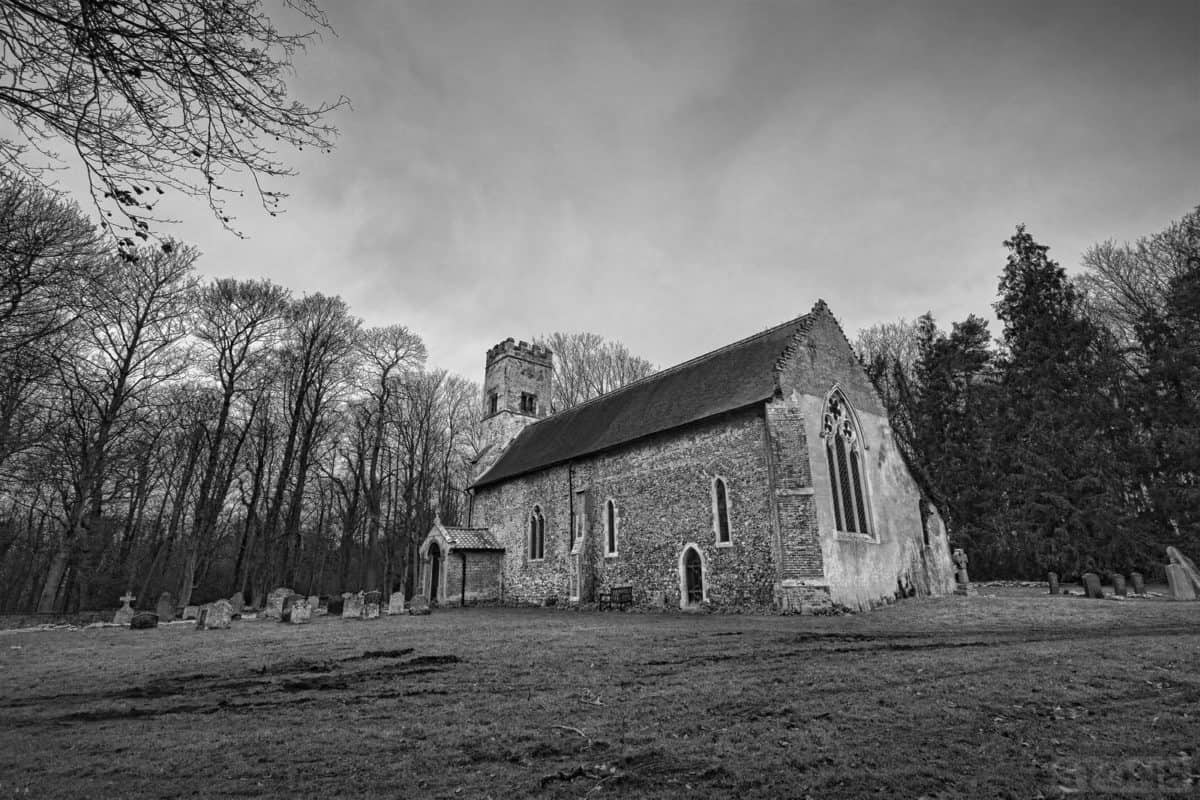
It is old from what can be dated; medieval thirteenth century, it displays robbed out Roman material in the fabric, probably taken from Brampton not far away Robbed out materials, walls in the walls. The fabric of the building has been bastardised several times the history partially hoovered away, but you can’t take everything. There’s a rood stair buried in one wall, a blocked door in the chancel to the ruined chapel which is slowly collapsing outside. There are four pieces of statuary crudely placed in a cross buried in the plaster, a brick arch exposed around a smaller window. The changes appear to have happened in the seventeeth and eighteenth centuries, a real onslaught of removal, repair and replacement, quite common on an estate, rich men fiddling with their toys. Then later is quite common for the well-intentioned daft Victorians, white walls, clean cut stone.
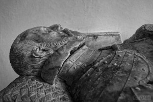
You do at least get a sense of something of the former personality of a small village church in the chancel nearer the alter. The outside has areas of old flint, newer additions are in brick; wall tops, the nave where someone was rich enough to not dig more flint. St Michaels was obviously tiny, intended to serve a small community, now packed with memorials to the Paston family who made it their home for so long, from small brass plates with olde type cut dating back to other times in Paston Village and Bromholm all rather lost in the floor below the out of scale but rather splendid tomb to Clement Paston complete with his wife kneeling in eternal discomfort at his side. From another time the strangely ugly memorial to Katherine Paston created by my namesake the Jacobean Sculptor Nicholas Stone sits in an alcove. It is all rather curious and yet far from a dead space, still in use, now hosting weddings for the venue at the hall and round it the village sleeps.

I really enjoyed reading this, and the photographs too. Thanks!