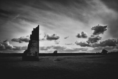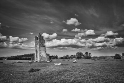
The Somme is exceptionally beautiful. For me a landscape which feels like home. It is chalk downland, when you get up onto the solitary heights of the Redan Ridge or the plateau where Thiepval sits it feels so similar to parts to the southern downlands. Below lies the flatland between Albert to Bapaume, itself another plateau, the soils are maybe a touch redder than in the heights, the whole layer set over chalk, a geological base that is broadly the same as the East and South East of England. The fecund curved surfaces makes it seem instantly familiar, gentle slopes, rounded and dipping, the roads curving between low banks with it’s gentle rolls it has the same way of revealing a sudden view across a shallow valley to a treeline that you’ll find across most of North Norfolk. Whatever anyone says about either, neither are flat.
The road that runs from Albert to Bapaume is a straight as a die. You feel you can see as far as the earth allows; where the curve stops your eyes. It is Roman, as deep driven down in time as it is straight. It was built to march a garrison quickly from one place to another, from Bapaume to an outpost at Albert. It doesn’t feel as if it has changed much, merely a metalled coat, the old pathway now marched by traffic, the Citroens and Renaults, familiar Fords, Vauxhalls and French buses and British plated coaches ferry the locals and the tourists along it’s length, a capped fissure through the land and back along another timeline from 100 years ago. Settlements huddle along it, and in the middle of the rolling swells of the countryside you can see the white breakers of the cemeteries, the tideline of detritus that the storm left in 1916.
Bapaume at the East end of the road has a rich and carefully preserved history, it was a centre, fortified, walled, fought over repeatedly. The Flemish, Austria, the Spanish briefly, toyed with during the revolution, and finally on the shifting sweep of the slow second hand of the advances of 1916 and 1917. Albert in the West behind its bluffs of rolling land has had its real history obscured. While it didn’t suffer the physical tearing of many towns it was damaged badly. Not just the fabric, but also in the sense that the modern history, the Great War, has to a certain extent obscured what was here before.
But this isn’t really about either town; the heart of the landscape is the journey between the two, that’s where you can cut through the rings of what happened in 1916. As you drive you are travelling backwards from the wet Autumn of 1916 back into the dust of summer. The brown signs on the road mark the lines at various points in time. The big cemetery at Pozieres, like a long Roman temple marking a rest point, the dead laid down in rows, the site of the Windmill so familiar to the Australians in particular. On the horizon to the south woods and copses grow over metal and bone, names that our grandparents knew well, High Wood, Delville, Trones, Contalmaison, to the North the Thiepval Ridge the memorial hunkered down, disappearing and reappearing in the trees.
It’s often the unnamed areas that are the most redolent of a moment in time. La Boiselle, the Lochnagar Crater and The Glory Hole have become well known. On the back roads around what was known as ‘Sausage Valley’ in 1916 a well trodden track for most of the last one hundred years. Gone are the days of only having the company of your own kicked up dust from your own boots. Lines of coaches nose like greedy carp into expanded and extended hard-standing on the edges of the beet, wheat and rapeseed fields, a caravan sits selling coffee, hotdogs, candy floss, shrapnel balls and bayonets. School parties pour out and ring the site peering down from wooden walkways protecting the vast crater from the erosion of thousands of feet.
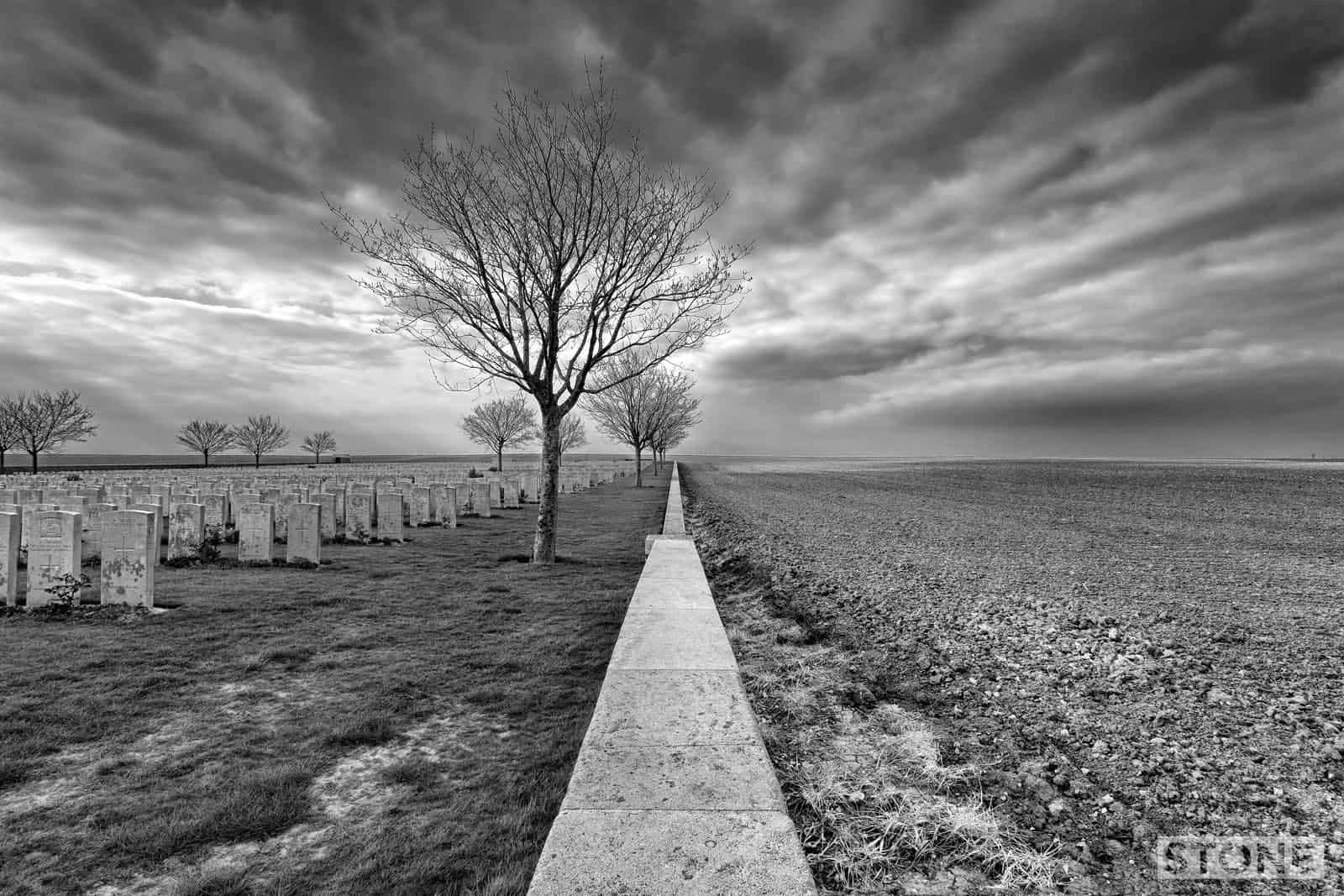
Away, across the straight ancient sunlit road is another smaller but just as important chronicle, and it’s in a world of near silence broken only by the sound of the occasional car, a distant tractor away on the curves turning the earth in neat lines and birdsong. The first time I drove down the Rue St Vincent, I was heading up towards Mouquet Farm and Thiepval, a quick stop and ponder trip before a coffee and deciding what silence to go and stand in on the ridge. I had a route in my head, some maps, photocopies with biro rings and fluffy corners, dreaming of the ridge and Sheffield Park. Then as I rounded a bend I’m pulled up sharp by Ovillers Cemetery rising through some young birch trees. This is the front. Mash valley, the lesser known wide killing field and brother to Sausage Valley with its craters and coach parking. I’m standing on a front line, the Germans held this rise, the cemetery adjacent is on the slope is in no-man’s-land. The ploughed and riddled field displays the ghosts of trench lines in broken white chalk like negative shadows on the surface. Suddenly it’s more real than the huge crater to the south. This dip in the fields was the site of a fight across a broad unoccupied area between the lines. It’s also a pooling point for the dead.
The cemetery started small, then gradually filled up from the surrounding fields after the armistice. Like all these places, it’s curious, absolutely immaculate still nearly a century on. It is said you are never alone with the Commonwealth War Graves Commission, I am, they are, but we are not. I walk the perimeter of the site looking out across the fields ready for a fresh crop, stepping over the wall to retrieve an ugly lump of orange flaking iron, a splinter from a shell, the weight of a bag of sugar. Then I criss-cross through the graves, the casual litany of it all sobering, reflecting a country; ‘A Soldier of the Great War’, ‘Known unto God’, ‘An unknown soldier of Tyneside, Yorkshire, Devonshire, Lincolnshire’. Nearly three-quarters of its occupants have no name on their door, in their quarters in this Somme landscape, 3,440 men, of which 2,480 are unidentified. Lost boys on a green island in a sea of still harrowed earth.