Georeferencing, Rephotography
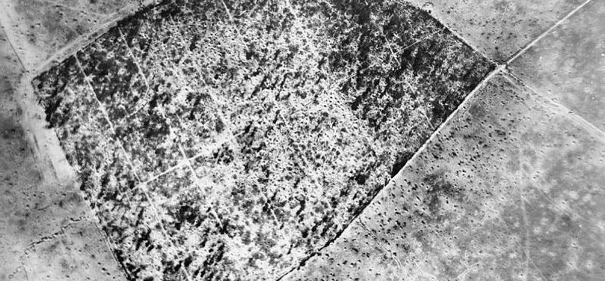
A couple of ones that nearly got away, I forgot I’d done the High Wood one until a few minutes ago when someone asked so this makes sense. The Courcelette one is appropriate for today (15th September 1916/2016) High Wood © Nick Stone 2016 IWM/Google, High Wood...

Georeferencing, Rephotography, The Great War
Langemark A few trench ghosts I did last week then got distracted and forgot about. One of Langemark and one of the Sugarloaf salient at Fromelles. The Langemark rephoto leaps out straight away. It’s also familiar to anyone that’s ever visited the German...
Georeferencing, The Great War
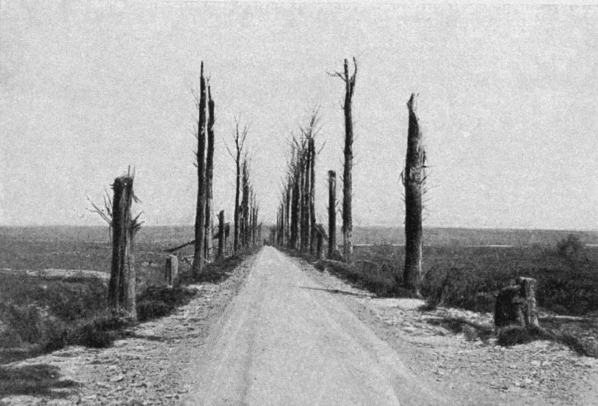
I had a very interesting email today from Gil Bossuyt of frontaaltours.com which has prompted this post. Gil has been looking at the image I originally colourised in this piece. It goes thus: “I went searching on trench maps to recognize some road structures,...
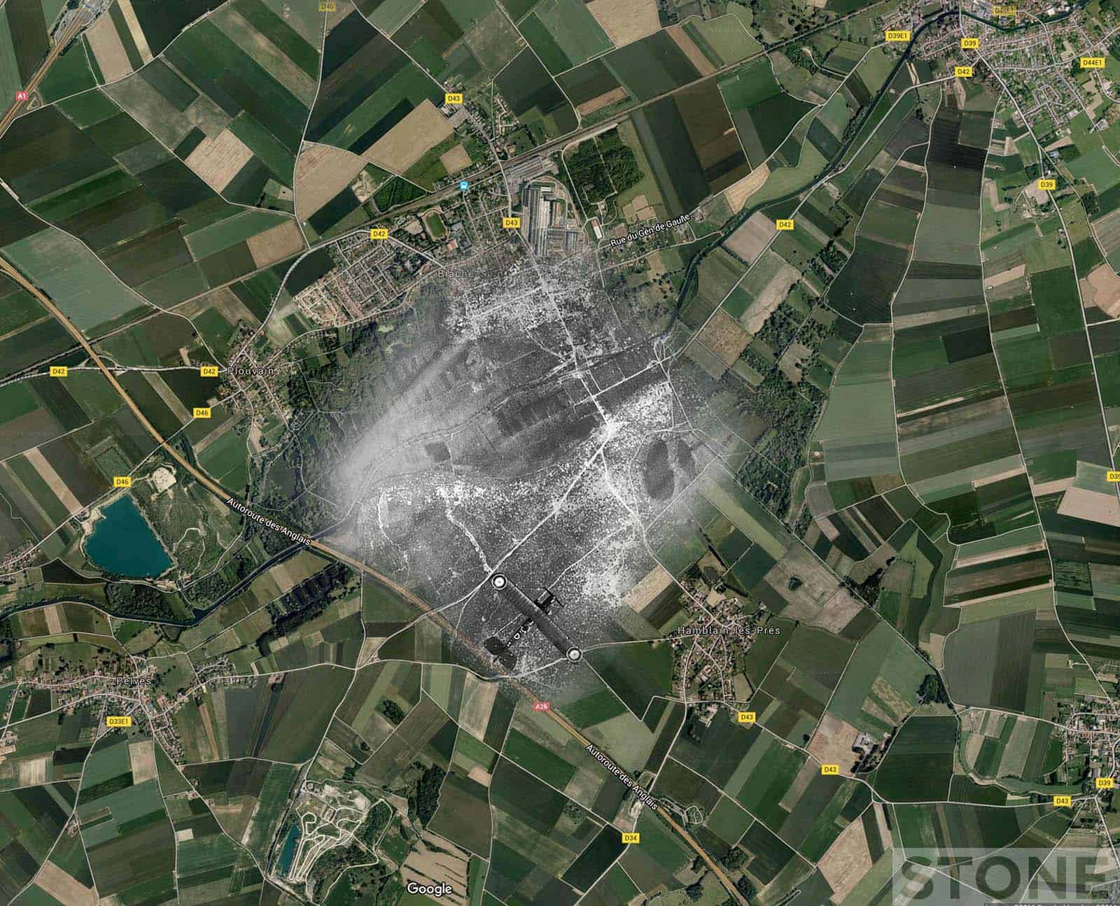
Georeferencing, Rephotography, The Great War
Someone asked if I’d done any Loos aerials, I hadn’t, it’s not an area I’m hugely familiar with, it does tend to get forgotten in between all the noise about the Battle of the Somme and The Ypres Salient. There’s plenty of front in...
Black Dog Tales, Georeferencing
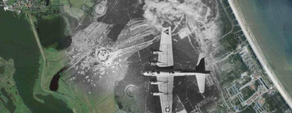
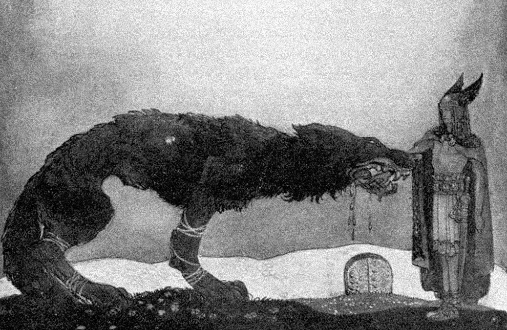
This was part of the original intent of the Public Archaeology project (for PA2015) and for me, because data is poetry and maps are fine prose. Due to the nature of my working life; the fact that I’m a bit of a butterfly/battering ram when it comes to how I...
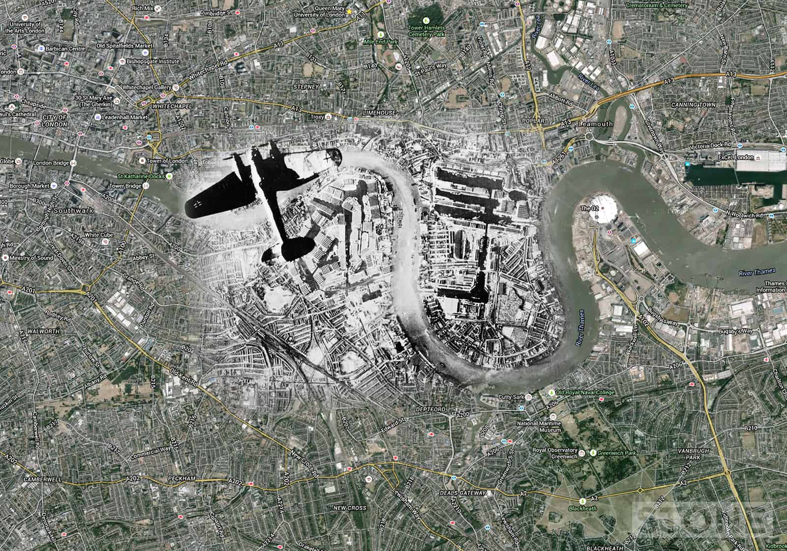
Georeferencing, Rephotography, The Blitz
These are blitz ghosts: London blitz aerial maps using images from various collection overlain on Google map aerials. An iconic image from one German Heinkel III bomber showing another over Rotherhithe, the Surrey Commercial and West India Docks and Isle of Dogs to...


